


Elevated moisture levels and the presence of an upper-level trough are expected to maintain increased cloudiness, showers and possible thunderstorm activity across parts of the Lesser Antilles during the next 24 hours. These conditions are expected into tomorrow Wednesday, as a tropical wave is projected to move across the island chain.
People in areas. prone to flooding, landslides and falling rocks should be on the alert for possible heavy showers.
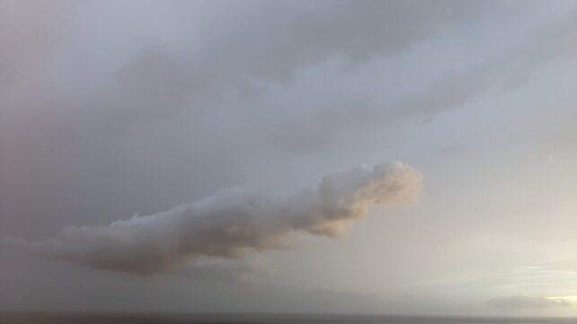
Dust haze will persist through the week, in varying concentrations. People with respiratory sensitivities should take precautions to avoid complications.
Moderate seas are anticipated during the next 24 to 48 hours, with waves peaking to 7.0ft in eastern coastal waters. Waves near 8.0ft are expected on Thursday. Small-craft operators and sea bathers should exercise some caution.
Disclaimer: The comments posted do not necessarily reflect the views of DominicaNewsOnline.com and its parent company or any individual staff member. All comments are posted subject to approval by DominicaNewsOnline.com. We never censor based on political or ideological points of view, but we do try to maintain a sensible balance between free speech and responsible moderating.
We will delete comments that:
See our full comment/user policy/agreement.