


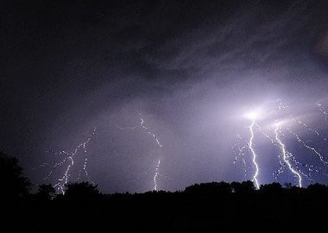
A surface to low level trough is expected to affect the area during the next 24 hours. Light winds and available moisture could result in occasional cloudiness and localized showers with a chance of isolated thunderstorms during tonight. People in areas prone to flooding, landslides and falling rocks should remain vigilant during tonight and tomorrow afternoon.
Slight dust haze will persist across the area during the next 24 hours. Additionally, hot night-time and daytime temperatures could lead to heat related stress. The public is advised to take all precautions to avoid complications as a result of these conditions.
Slight to moderate seas are anticipated during the next 24 hours with waves peaking to 5.0ft.
That “heat-related stress” is real.