


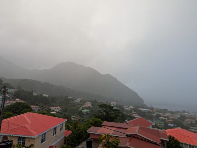
A temporary drying of the atmosphere is expected during the day today as Hurricane Beryl approaches the area. As a result, partly cloudy to cloudy skies with some scattered showers are possible. Thereafter, by tonight showers and winds associated with the passage of Hurricane Beryl are projected to begin affecting the area.
The presence of dust haze is expected to be maintained over the next few days. People with respiratory sensitivities are advised to take the necessary precautions to avoid complications.
Moderate to rough seas can be expected in open water with waves peaking near 10ft today.
Beryl continues to show signs of intensification.
At 500 AM, the center of Hurricane Beryl was located near latitude 10.7 North, longitude 53.1 West about 643 miles east southeast of Dominica. Beryl is moving toward the west near 21 mph . A continued quick westward to west-northwestward motion is expected during the next few days. Estimates indicate that the maximum sustained winds have increased to near 100 mph (155 km/h) with higher gusts. Rapid strengthening is forecast over the next day or so, and Beryl is expected to become an extremely dangerous hurricane before it reaches the Windward Islands.
Interests in Dominica and the Lesser Antilles should closely monitor the progress of Beryl.
May the country be spared of any adversity during the passage of Hurricane Beryl. God knows that Dominicans are at their wits ends as to how to overcome these perennial natural and manmade storms.
Want to urge everyone to take whatever precautions they can to mitigate any possible misfortune. Hope all will be unscathed on the other side of the storm.