


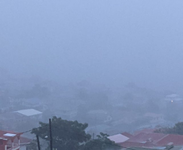
Increased moisture and instability associated with a strong, westward-moving tropical wave will continue to affect the region during today. Cloudy to overcast skies with widespread showers—some moderate to heavy at times—and scattered thunderstorms can be expected during the afternoon into tonight. As a result, the Flood Watch is in effect until 6 p.m. today, Wednesday. A flood watch means that flooding is possible during the watch period. An upgrade to a flood warning is likely during the afternoon, if conditions warrant. Breezy conditions can also be expected during the next 24 hours.
The public should remain on alert and exercise caution. Look out for excessive runoff and river flooding, flooding of low-lying bridges and streets, increased turbidity of streams and rivers, and landslides and falling rocks in vulnerable areas.
A slight reduction in Saharan dust concentrations is expected across the area today.
Moderate seas, with an increase in wave heights up to 5 feet on the west coast and up to 8 feet on the east coast, are expected during the period. A small craft advisory is in effect.
Disclaimer: The comments posted do not necessarily reflect the views of DominicaNewsOnline.com and its parent company or any individual staff member. All comments are posted subject to approval by DominicaNewsOnline.com. We never censor based on political or ideological points of view, but we do try to maintain a sensible balance between free speech and responsible moderating.
We will delete comments that:
See our full comment/user policy/agreement.