


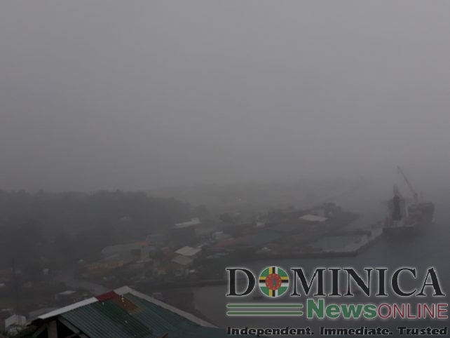
An increase in cloudiness, scattered showers and possible thunderstorms associated with a trough can be expected to affect the island today and on Thursday. Shower activity can be expected to intensify during the afternoons. The Met Office will continue to monitor and provide the necessary updates.
An area of low pressure in the Central Tropical Atlantic has a high chance of becoming a tropical depression within the next 48 hours. Environmental conditions are expected to remain conducive for development during the week as it moves westward towards the region. The system is expected to approach the area by the weekend and watches may be required for some islands during the next 24 hours.
Regardless of development, this system has the potential to bring gusty winds, heavy rainfall and flooding to portions of the Lesser Antilles beginning Friday
A deterioration in sea conditions can also be expected by weekend. Residents are advised to monitor the progress of this area of disturbance and to stay tuned for updated warning information provided by the Met Office.
Thanks for the report but God is good man and Skerrit’s hope for plenty rain will not happen this time