


The National Hurricane Center is closely monitoring a tropical wave in the central tropical Atlantic, which has a high chance of developing into a tropical depression as it approaches the Lesser Antilles by early next week. Residents of Dominica and the Lesser Antilles are advised to stay informed and begin making necessary preparations.
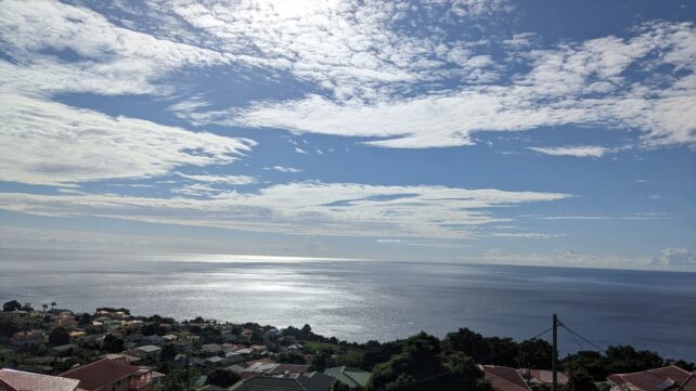
In the meantime, a weak ridge pattern will dominate the weather conditions across the area during the earlier part of today, resulting in a relatively dry atmosphere. However, low-level moisture trailing the tropical wave is expected to spread northwards, leading to cloudy periods with scattered showers and a chance of isolated thunderstorms as the day progresses.
Additionally, a low concentration of dust haze is anticipated over the next few days. People with respiratory sensitivities should take necessary precautions to avoid complications.
Seas are expected to be slight to moderate in open water, with waves peaking near 7 feet.
Residents are advised to monitor the progress of this system and begin making preparations.
Disclaimer: The comments posted do not necessarily reflect the views of DominicaNewsOnline.com and its parent company or any individual staff member. All comments are posted subject to approval by DominicaNewsOnline.com. We never censor based on political or ideological points of view, but we do try to maintain a sensible balance between free speech and responsible moderating.
We will delete comments that:
See our full comment/user policy/agreement.