


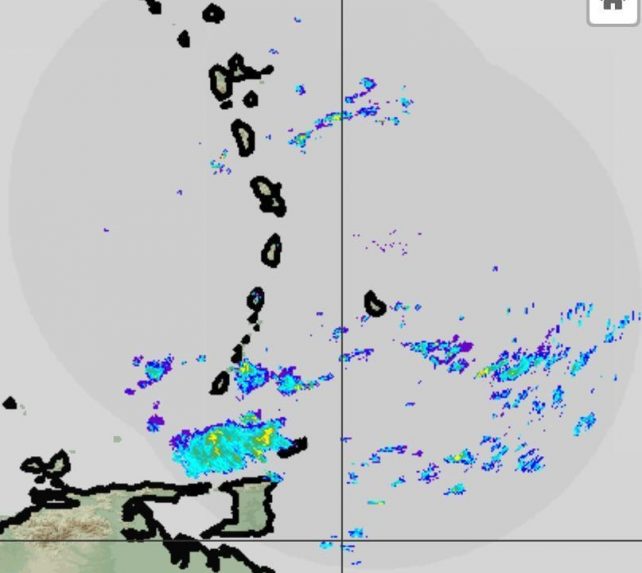
A trough is expected to linger across the area during most of today. Thereafter, a high pressure system is expected to rebuild across the area generating an increase in wind speeds. Occasional cloudiness with scattered showers can be expected across parts of the island chain during the next 12 to 24 hours.
Additionally, a southward moving dissipating frontal boundary is expected to generate an increase in cloudiness and shower activity across the area by Thursday.
Moderate sea conditions are expected during the next 18 to 24 hours with waves peaking to 7.0ft. A deterioration in sea conditions is anticipated on Thursday, with waves up to 10.0ft by evening. Small craft operators and sea bathers are advised to exercise caution. A small craft warning and a high surf advisory will be issued by early Thursday.
Disclaimer: The comments posted do not necessarily reflect the views of DominicaNewsOnline.com and its parent company or any individual staff member. All comments are posted subject to approval by DominicaNewsOnline.com. We never censor based on political or ideological points of view, but we do try to maintain a sensible balance between free speech and responsible moderating.
We will delete comments that:
See our full comment/user policy/agreement.