


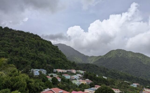
Unstable conditions associated with an upper-level trough could bring occasional cloudiness with scattered showers and possible isolated thunderstorms across the island today. Light winds and high daytime temperatures may further enhance cloudiness, resulting in localised afternoon downpours, particularly across western to northern communities. Residents in vulnerable areas, as well as motorists and pedestrians traversing areas at risk of flooding, landslides and falling rocks, should exercise caution.
A slight increase in Saharan dust is expected overnight and may linger through Friday. Persons with respiratory issues should take the necessary precautions.
Slight to moderate seas are forecast, with wave heights up to 3 feet along the west coast and up to 5 feet along the east coast during the next 24 hours. However, wave heights are expected to increase to near 7 feet along the East Coast overnight into Friday. Longer wave periods on Friday are likely to result in ground swells.
At 5 a.m., the centre of Tropical Storm Gabrielle was located near latitude 20.0°N, longitude 50.3°W, or about 845 miles east of the northern Leeward Islands. Gabrielle is currently struggling as it moves west-northwest at 15 mph. A west-northwest to northwest motion is expected over the next few days, with maximum sustained winds near 50 mph with higher gusts. Based on the forecast track, the system is projected to pass north of the northern Leeward Islands during the weekend. Residents are advised to continue monitoring updates.
Disclaimer: The comments posted do not necessarily reflect the views of DominicaNewsOnline.com and its parent company or any individual staff member. All comments are posted subject to approval by DominicaNewsOnline.com. We never censor based on political or ideological points of view, but we do try to maintain a sensible balance between free speech and responsible moderating.
We will delete comments that:
See our full comment/user policy/agreement.