


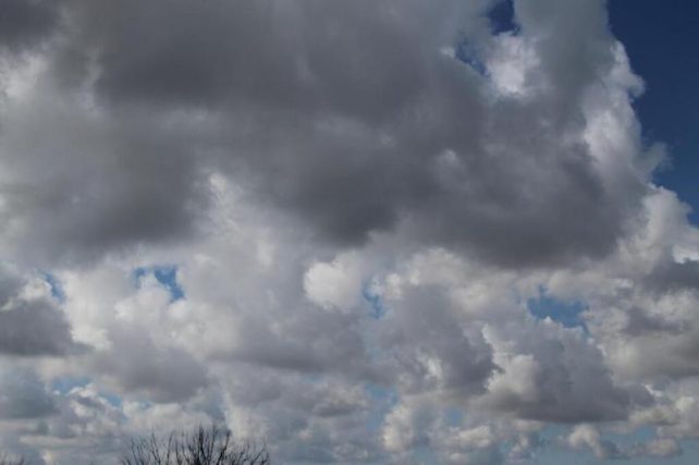
A high pressure system is expected to be dominant across the area during the next 24 hours resulting in a few cloudy spells with brief showers. By tomorrow, a trough system is expected to support a relative increase in shower activity across the area.
Over the weekend, a tropical wave is expected to generate an increase in moisture and instability particularly across the northern half of the Lesser Antilles resulting in an increase in cloudiness with showers and possible thunderstorm activity.
Dust haze is expected to linger across the area in varying concentrations over the next few days. People with respiratory sensitivities should take all precautions to minimize complications.
Moderate seas are anticipated during the next 24 hours, with waves peaking to near 7.0ft. Small-craft operators and sea-bathers along the northern coastline should continue to exercise caution.
Disclaimer: The comments posted do not necessarily reflect the views of DominicaNewsOnline.com and its parent company or any individual staff member. All comments are posted subject to approval by DominicaNewsOnline.com. We never censor based on political or ideological points of view, but we do try to maintain a sensible balance between free speech and responsible moderating.
We will delete comments that:
See our full comment/user policy/agreement.