


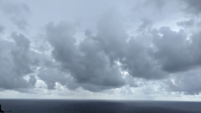
Moisture and instability trailing a weak tropical wave will maintain increased cloudiness with scattered showers across the island duirng the early half of the overnight period. Drier conditions are expected afterwards, as a high pressure system builds and a Saharan dust plume moves into the area. People with respiratory sensitivities should exercise caution to avoid complications. Additionally, temperatures are likely to be uncomfortable therefore, precautions should be taken to minimize heat stress.
Sea conditions are expected to slight to moderate, with wave heights peaking to 3 feet along the west coast and to near 7 feet along the east coast tonight.
Meanwhile, two tropical waves are being monitored in the Tropical Atlantic. The nearest wave has a medium chance of development within 7 days and is expected to be near the Lesser Antilles by late Thursday into Friday. Current projections have shifted the area of concern slightly to the north of Dominica. However, residents are advised to continue to remain informed and to monitor the progress of these waves.
Disclaimer: The comments posted do not necessarily reflect the views of DominicaNewsOnline.com and its parent company or any individual staff member. All comments are posted subject to approval by DominicaNewsOnline.com. We never censor based on political or ideological points of view, but we do try to maintain a sensible balance between free speech and responsible moderating.
We will delete comments that:
See our full comment/user policy/agreement.