


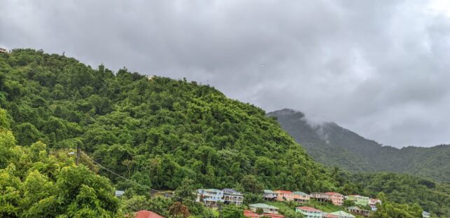
A high pressure system is expected to result in occasional cloudiness, breezy conditions and a few passing showers during the next 24 hours.
Meanwhile, a tropical wave currently in the Atlantic Ocean will begin to affect the area by Friday. Unstable conditions associated with this wave can be expected to pass over the northern portion of the chain during Friday. Moisture trailing this wave is expected to result in an increase in cloudiness with scattered showers and a chance of isolated thunderstorms by Saturday into Sunday.
Dust haze in varying concentrations will be evident during the next 24 hours. People with respiratory sensitivities should take the necessary precautions to avoid complications.
Slight to moderate seas are anticipated during the next 24 hours, with waves peaking to 7.0ft in eastern coastal waters.
Disclaimer: The comments posted do not necessarily reflect the views of DominicaNewsOnline.com and its parent company or any individual staff member. All comments are posted subject to approval by DominicaNewsOnline.com. We never censor based on political or ideological points of view, but we do try to maintain a sensible balance between free speech and responsible moderating.
We will delete comments that:
See our full comment/user policy/agreement.