


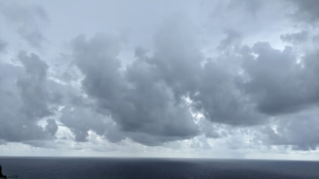
Unstable conditions will be affecting the area during the next 24 to 48 hours. Tropical storm Philippe inches closer to the region increasing the chances of showers which could be moderate to heavy at times with gusty winds and thunderstorms over the area tonight into tomorrow. People in areas prone to flooding, landslides and falling rocks should be on the alert.
The center of Tropical Storm Philippe was located near latitude 17.6 North, longitude 61.5 West about 145 miles northeast of Dominica. Rainfall accumulations between 1 to 3 inches are possible in parts of Dominica as a result of the passage of Philippe. A flood warning is in place for Dominica. However, current model guidance indicates that sustained tropical storm force winds associated with Philippe, pose no direct threat to Dominica. The met office will continue to monitor the progress of this tropical storm.
Moderate sea conditions are expected over the next 24 to 48 hours with waves peaking near 8ft on the eastern, northern and western coast. Small craft operators and sea bathers are advised to exercise caution.
Disclaimer: The comments posted do not necessarily reflect the views of DominicaNewsOnline.com and its parent company or any individual staff member. All comments are posted subject to approval by DominicaNewsOnline.com. We never censor based on political or ideological points of view, but we do try to maintain a sensible balance between free speech and responsible moderating.
We will delete comments that:
See our full comment/user policy/agreement.