


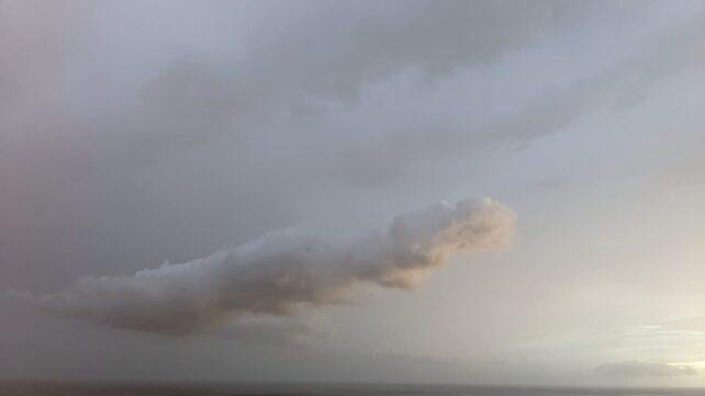
Lingering moisture behind a tropical wave, combined with some upper-level instability, will move away from the area this morning, maintaining pockets of cloudiness. A ridge pattern is building across the region and will gradually reduce moisture levels during the day. Expect partly cloudy to occasionally cloudy skies with a few passing showers. Meanwhile, a surface to low-level trough is expected to move across the area overnight, leading to an increase in shower activity late tonight into Monday morning. Breezy conditions will persist throughout the period.
Low concentrations of Saharan dust are expected across the area. Individuals with respiratory sensitivities should take the necessary precautions.
Seas will remain moderate through Tuesday, with wave heights up to 5 ft on the west coast and up to 8 ft in open water on the east coast. A Small Craft Advisory remains in effect for above-normal seas and strong winds in open water, mainly on the eastern side. Sea-bathers and small craft operators should continue to exercise extreme caution.
Disclaimer: The comments posted do not necessarily reflect the views of DominicaNewsOnline.com and its parent company or any individual staff member. All comments are posted subject to approval by DominicaNewsOnline.com. We never censor based on political or ideological points of view, but we do try to maintain a sensible balance between free speech and responsible moderating.
We will delete comments that:
See our full comment/user policy/agreement.